Assumption Parish

Louisiane flag
The parish was named in honor of the Assumption of Mary. She is one of 19 parishes in Louisiana history.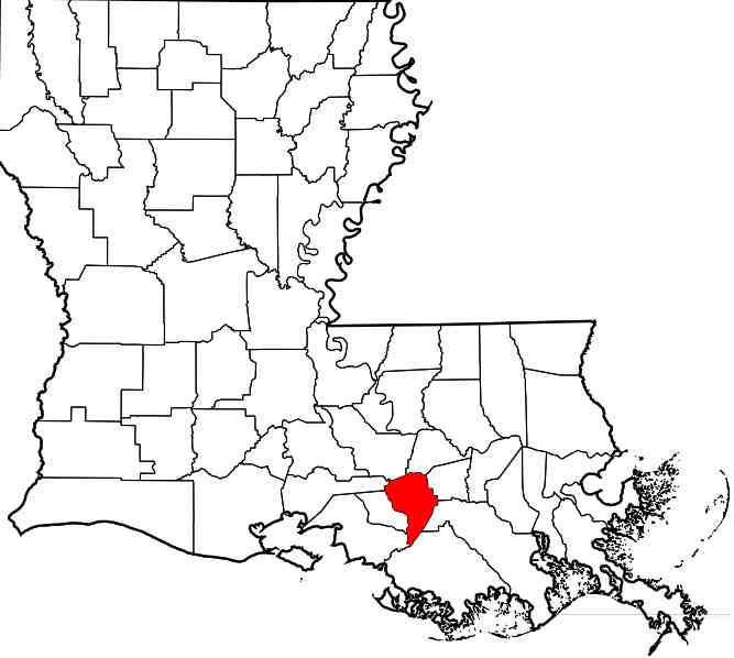
In red : Assumption Parish on Louisiana map
It was created March 31, 1807, five days before the Louisiana enters the Union.Its population was 23,388 inhabitants in 2000.
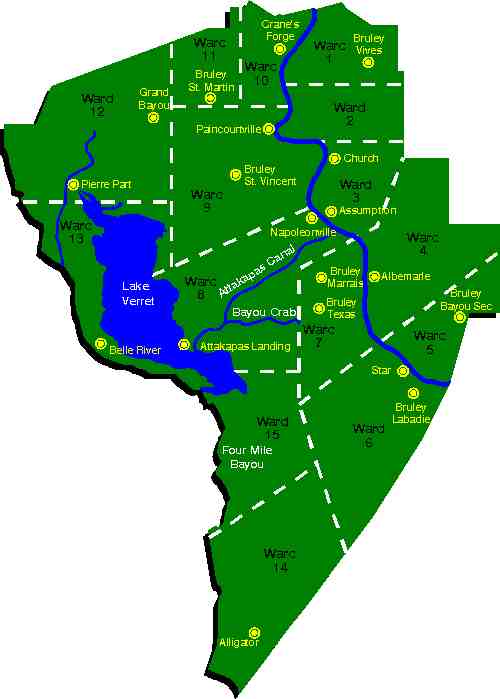
Assumption Parish map
The parish was divided into main cities like Napoleonville, Paintcourtville and Pierre Part.
Napoleonville and Plattenville, a small village east of Paintcourtville are widely cited in the family history.
In 1807 the community called "Channel" became Napoleonville. This channel was to Lake Verret (you can see the map before). The city owes its name to a soldier who had been part of the troops of Napoleon Bonaparte.
The first permanent settlements in the region were made by the French and Spanish towards the middle of the eighteenth century.
These new inhabitants moved along Bayou Lafourche.
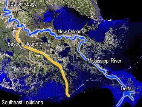
Bayou Lafourche
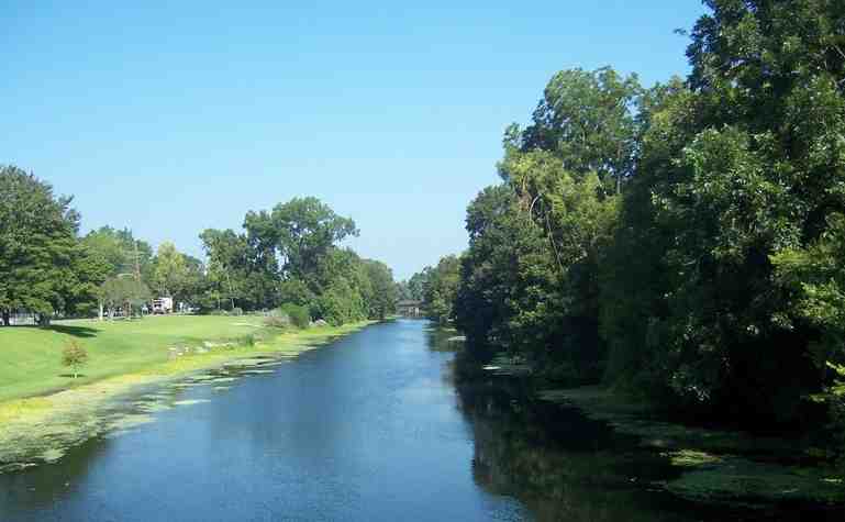
Bayou Lafourche in Napoleonville
From 1755, the population grew with immigration Acadians in exile, who invested this region in order to build houses and make cultivable land.

Plantation Madewood Napoleonville
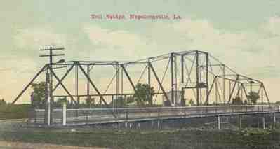
Toll bridge Napoleonville
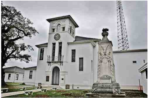
Assumption Parish Courthouse 1896
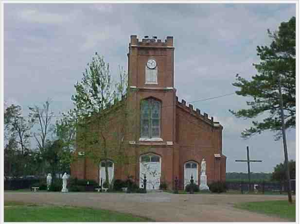
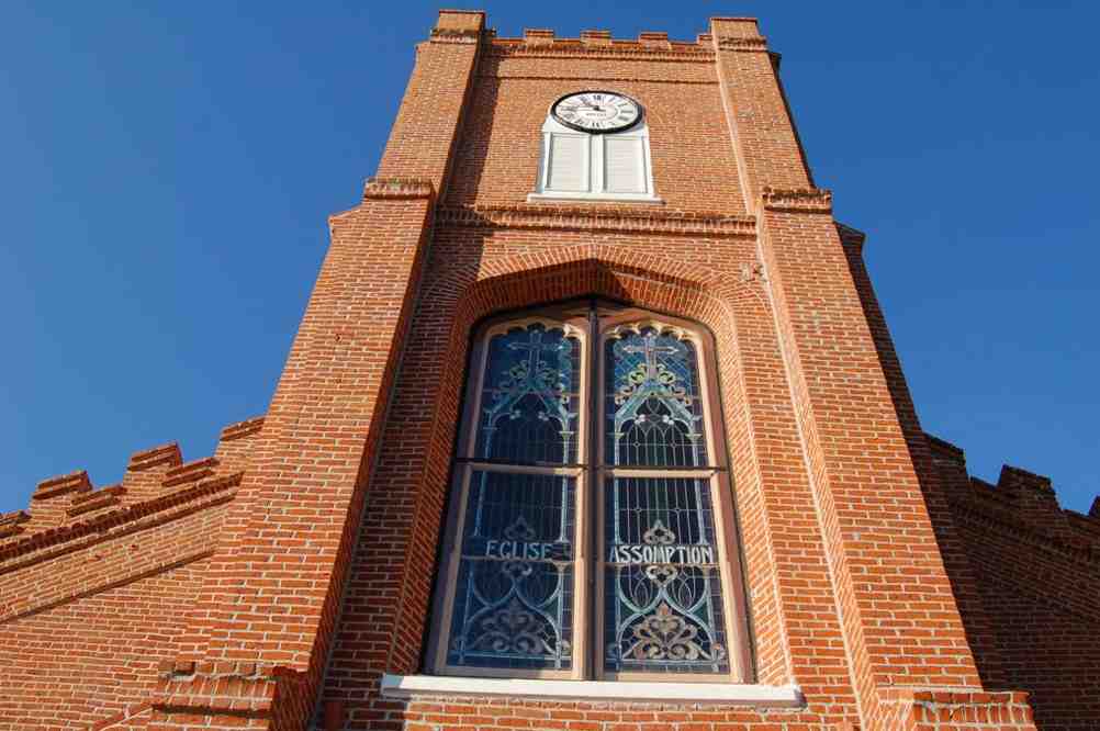
Plattenville Church